Featured Maps
Trash Collection Inventory - preview image
Trash Collection Inventory

Discover which agency is responsible for picking up your trash, recycling, and yard waste.

Open
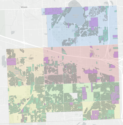
Zoning Districts - preview image
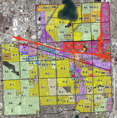
Zoning Districts

Determine the zoning district and overlay for a parcel within the City of Novi.

Open
Voting Precinct Lookup - preview image
Voting Precinct Lookup

Find your designated voting precinct and polling location.

Open
Residential Property Sales - preview image
Residential Property Sales

Find residential-improved property sales that occurred between April 1, 2021 and December 31, 2023.

Open
Tax Parcel Viewer - preview image
Tax Parcel Viewer

View tax parcel boundaries and property assessment information for properties located within the City of Novi.

Open
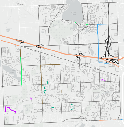
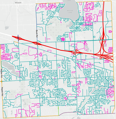
Who Plows My Street? - preview image
Who Plows My Street?

Look up the agency responsible for plowing your street during a winter storm.

Open
City Operations Maps
Address & ZIP Code Lookup - preview image
Address & ZIP Code Lookup

Verify your address and ZIP Code.

Open
CIP Dashboard - preview image
CIP Dashboard

Learn about the capital improvement projects approved by City Council.

Open
Trash Collection Inventory - preview image
Trash Collection Inventory

Discover which agency is responsible for picking up your trash, recycling, and yard waste.

Open
Community Development Maps
Development Projects - preview image
Development Projects

Learn about developments that have been proposed, built, and completed from 1994 - Present.

Open
Existing Land Use - preview image
Existing Land Use

Existing land use data last updated in 2020 and provided by the Southeast Michigan Council of Governments.

Open
Future Land Use - preview image
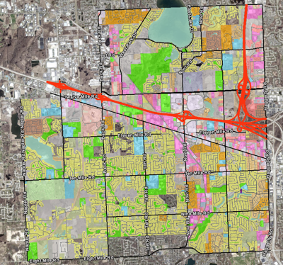
Future Land Use

View the city's vision for the Master Plan for Land Use which was last amended in 2023.

Open
Grand River CIA - preview image
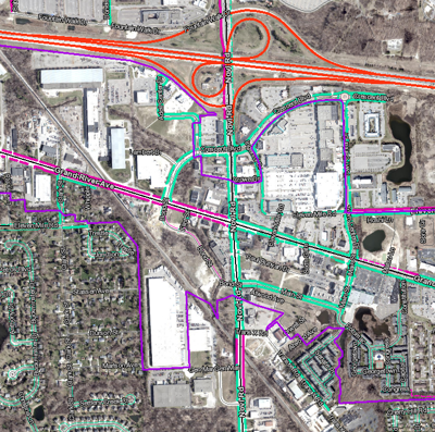
Grand River CIA

Review the Corridor Improvement Authority (CIA) established along Grand River Ave.

Open
Right-of-Way Lookup - preview image
Right-of-Way Lookup

Check to make sure your sign is installed outside the right-of-way along a street.

Open
Zoning Districts - preview image
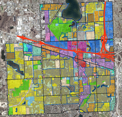
Zoning Districts

Determine the zoning district and overlay for a parcel within the City of Novi.

Open
Economic Development Maps
Business Opportunity Areas - preview image
Business Opportunity Areas

View commercial and industrial areas within the City of Novi.

Open
Shopping, Dining & Entertainment - preview image
Shopping, Dining & Entertainment

Explore Novi's vibrant locations for food and fun!

Open
Election & Voting Maps
Ballot Drop Box Lookup - preview image
Ballot Drop Box Lookup

Find a secure ballot drop box near you.

Open
My Elected Representatives - preview image
My Elected Representatives

Discover who represents your area at all levels of government.

Open
Voting Precinct Lookup - preview image
Voting Precinct Lookup

Find your designated voting precinct and polling location.

Open
Historical Commission Maps
Cemetery Map - preview image
Cemetery Map

Search for a person buried in a cemetery maintained by the City of Novi.

Open
Cemetery Map - Knapp Cemetery - preview image
Cemetery Map - Knapp Cemetery

View locations of veterans buried in Knapp Cemetery. (PDF Map)

Open
Cemetery Map - Novi Cemetery - preview image
Cemetery Map - Novi Cemetery

View locations of veterans buried in Novi Cemetery. (PDF Map)

Open
Historical Landmarks - preview image
Historical Landmarks

Learn more about the history of the City of Novi.

Open
MotorCities Markers - preview image
MotorCities Markers

Find sites important to the auto industry developed in Novi.

Open
Land Management Maps
Benchmark & Survey Information - preview image
Benchmark & Survey Information

Locate section corners and survey benchmarks established by the City of Novi.

Open
Commercial & Residential Developments - preview image
Commercial & Residential Developments

Subdivisions, condominiums, apartment complexes, and other designated residential and commercial areas.

Open
Land Values - preview image
Land Values

Review the land value assigned to each parcel by the Assessor's office.

Open
Publicly Owned Properties - preview image
Publicly Owned Properties

Identify parcel ownership by public entities such as local & state governments and school districts.

Open
Residential Property Sales - preview image
Residential Property Sales

Find residential-improved property sales that occurred between April 1, 2021 and December 31, 2023.

Open
Tax Parcel Viewer - preview image
Tax Parcel Viewer

View tax parcel boundaries and property assessment information for properties located within the City of Novi.

Open
Natural Environment Maps
FEMA Flood Hazard Areas - preview image
FEMA Flood Hazard Areas

Determine if a tax parcel is located within a designated floodplain.

Open
Regulated Wetlands - preview image
Regulated Wetlands

View the city's protected wetland areas.

Open
Regulated Woodlands - preview image
Regulated Woodlands

View designated woodland areas within Novi.

Open
Tree Identification - preview image
Tree Identification

Discover the tree species planted along the street near your house.

Open
Tree Pruning Schedule - preview image
Tree Pruning Schedule

Look up when street trees are scheduled to be pruned in your neighborhood.

Open
Parks & Recreation Maps
Active Mobility Map - preview image
Active Mobility Map

Comprehensive plan to guide investment decisions in non-motorized infrastructure. (PDF Map)

Open
Novi Park Atlas - preview image
Novi Park Atlas

Learn about parks and their amenities operated by the City of Novi.

Open
ParkFinder & Trail Explorer - preview image
ParkFinder & Trail Explorer

Find a park across Southeast Michigan and view trail details.

Open
View a Nearby Walking Route - preview image
View a Nearby Walking Route

View sidewalks and pathways throughout Novi to discover a new walking route.

Open
Public Safety Maps
Emergency Relief Centers - preview image
Emergency Relief Centers

Emergency relief districts and locations for the City of Novi. (PDF Map)

Open
Fire Districts - preview image
Fire Districts

Fire district boundaries and mutual aid areas covering the City of Novi. (PDF Map)

Open
Police Districts - preview image
Police Districts

Locations of the seven police districts in the City of Novi. (PDF Map)

Open
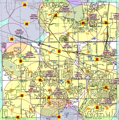
Tornado Siren Coverage Areas - preview image
Tornado Siren Coverage Areas

City of Novi’s tornado siren locations and coverage areas. (PDF Map)

Open
School District Maps
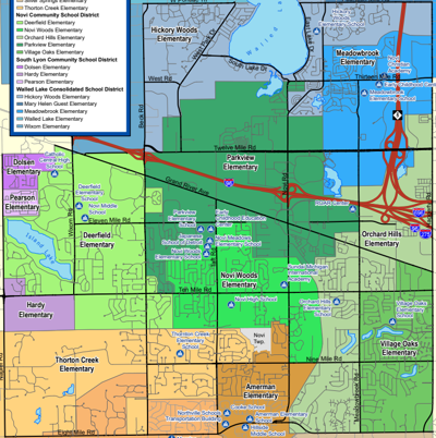
Elementary Attendance Areas - preview image
Elementary Attendance Areas

View the elementary school attendance zones covering the City of Novi. (PDF Map)

Open
My Neighborhood School - preview image
My Neighborhood School

Search for an address to determine which schools a student will attend.

Open
School Districts - preview image
School Districts

View the school district boundaries found within the City of Novi. (PDF Map)

Open
Transportation Maps
Road Construction Projects - preview image
Road Construction Projects

View current road repair projects and detour routes in Novi and the surrounding communities.

Open
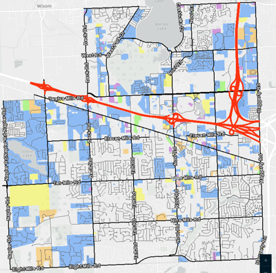
Roadway Weight Classification - preview image
Roadway Weight Classification

View city, county, and state roadway weight restrictions throughout the City of Novi. (PDF Map)

Open
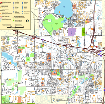
Street Map & Destinations - preview image
Street Map & Destinations

Traditional City of Novi street map with popular landmarks and a street name index. (PDF Map)

Open
Who Repairs My Street - preview image
Who Repairs My Street

Look up the agency responsible for maintaining your street.

Open
Winter Maintenance Maps
Sidewalk Snow Clearing Map Book - preview image
Sidewalk Snow Clearing Map Book

Locations of walkways throughout the City of Novi that are cleared during winter storms. (PDF Map)

Open
Who Plows My Street? - preview image
Who Plows My Street?

Look up the agency responsible for plowing your street during a winter storm.

Open